Your Source for Portland Oregon Real Estate.
- Home
- Property Search
- Cooper Team
- Portland Condos
- Downtown Condos
- Green Built Condos
- John's Landing Condos
- Lair Hill/Goose Hollow/Kings Hill Condos
- Lloyd Center Area Condos
- Northwest Portland Condos
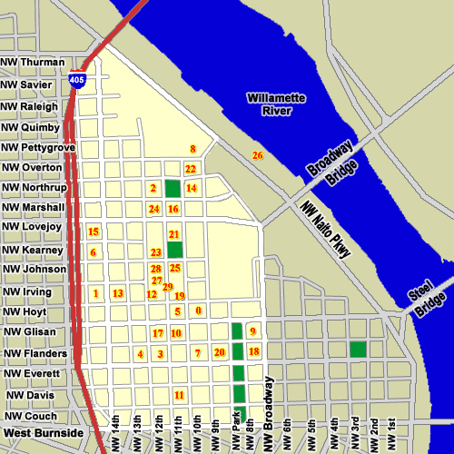
- Pearl District Condos
- Sellwood/Westmoreland Condos
- South Waterfront Condos
- ................................................................
- Beaverton/Aloha Condos
- Hillsboro/Forest Grove Condos
- Lake Oswego/West Linn Condos
- Tigard/Tualatin/Wilsonville Condos
- Pearl District
- Get In Touch